- Second Phase of the Project Officially Approved
The second reporting period of the CLIMANATRES project has been successfully concluded and officially approved.
During this period, the focus was on stakeholder integration and the development of technological solutions. The central events of this phase were the local stakeholder workshop in Rakitje and the second project partner and Steering Committee meeting in Zasavica (Serbia). These meetings served to align methodologies, analyze new climate projections, and introduce the Web GIS interface being developed by the Faculty of Geodesy, University of Zagreb, for visualizing bioclimatic data.
All planned project activities, deliverables, and administrative obligations envisioned for this period were executed on time, which has been confirmed by the official approval of the report by the competent authorities. This sets a firm foundation for upcoming field activities and the continuous upgrade of digital habitat modeling tools.
Encouraged by the successful completion of the second phase, we continue toward new project achievements with great enthusiasm and motivation!
- 2nd Project Partners and Steering Committee Meeting

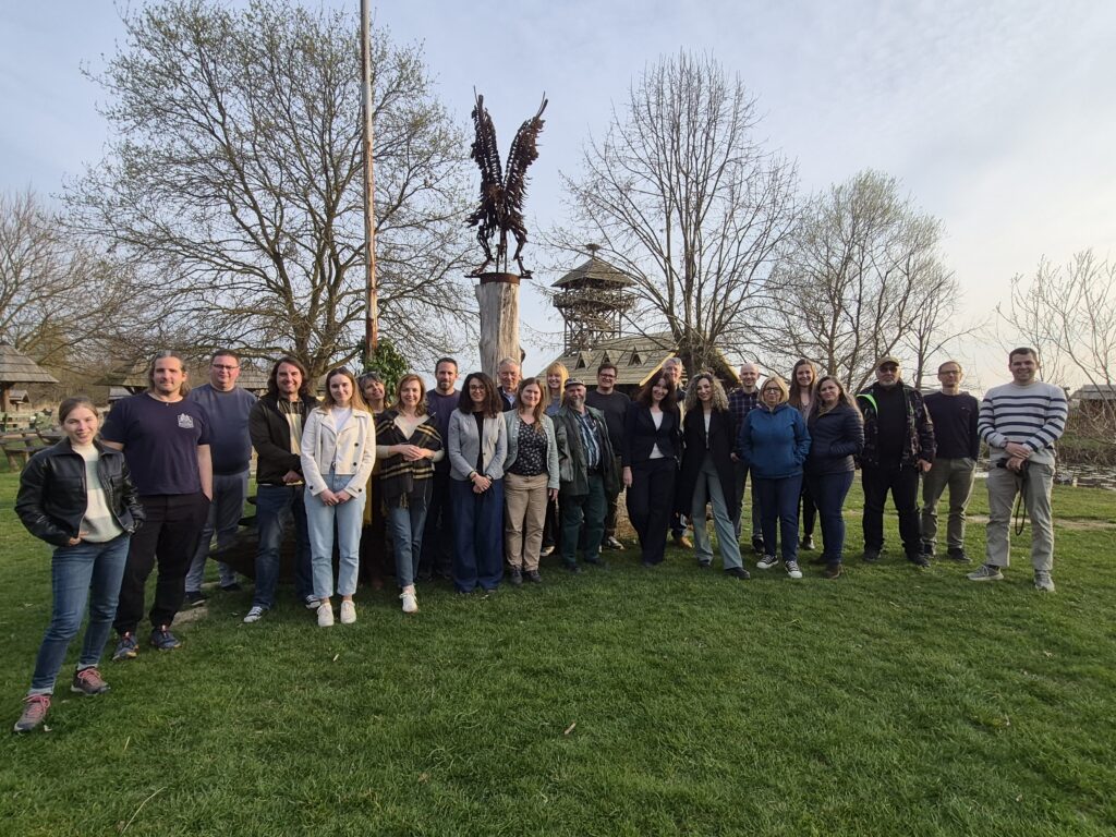
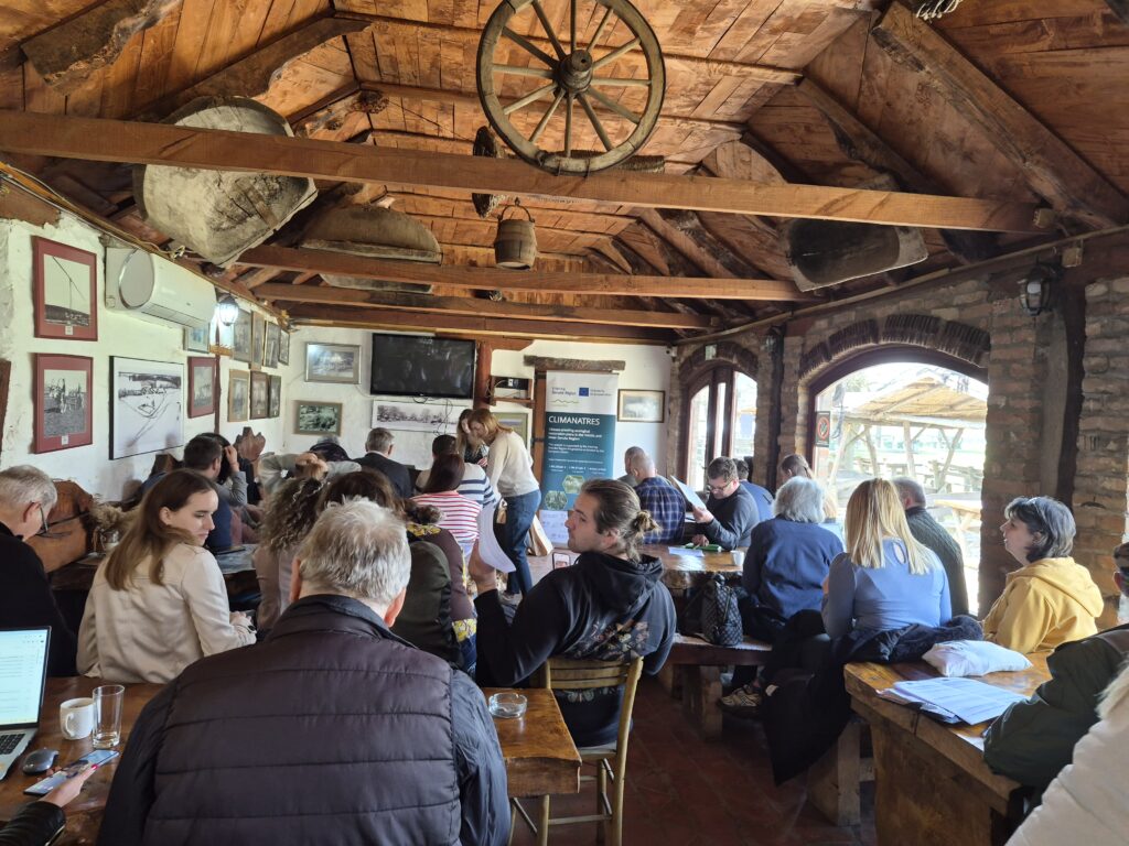
On March 25th and 26th, 2026, the second Partners and Steering Committee Meeting of the CLIMANATRES project was held at the Zasavica Special Nature Reserve in Serbia. As one of the key partners, representatives from the Faculty of Geodesy, University of Zagreb, actively participated in the sessions and presented the results achieved to date.
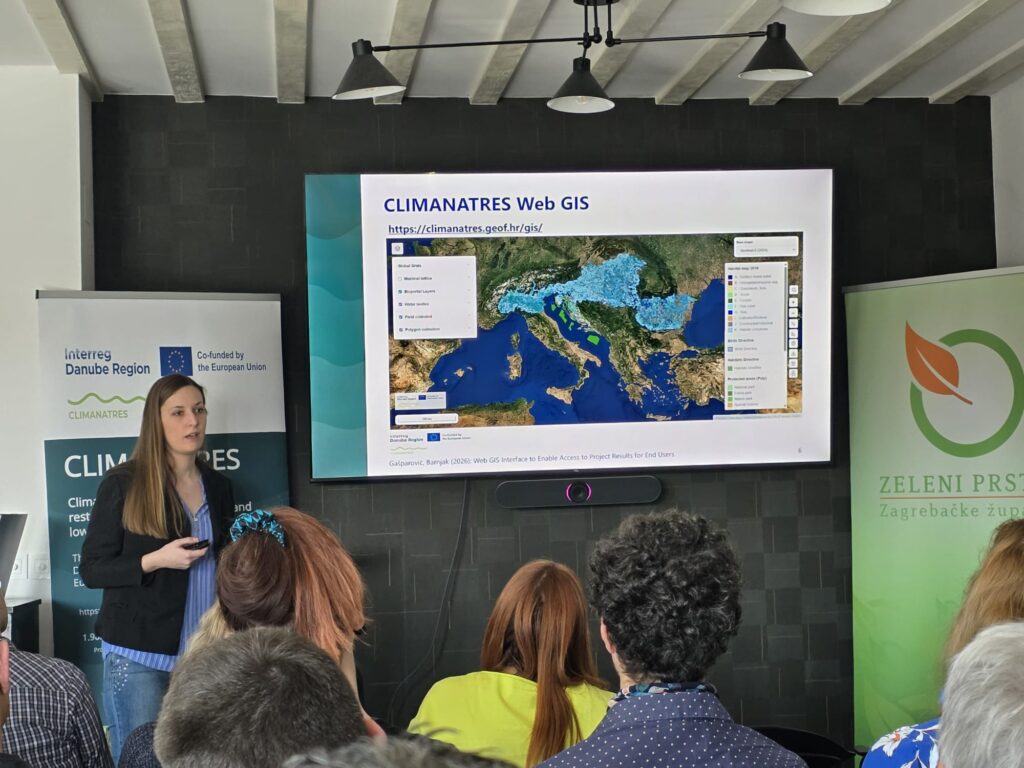
On behalf of the Faculty of Geodesy team, Katarina Barnjak introduced the Web GIS interface currently under development within the work package led by GEOF. This interface will serve as a core platform for visualizing bioclimatic variables and publishing project results, providing stakeholders with easy access to the data necessary for ecological restoration planning.
The meeting highlighted the results of the first year of implementation, with a specific focus on:
- New climate change projections (CMIP6) for the Danube and Carpathian regions.
- Vegetation mapping methodology to be implemented in the upcoming season.
- Stakeholder involvement in habitat restoration decision-making processes.
The gathering provided an opportunity to align activities with the Lead Partner (HUN-REN Centre for Ecological Research) and other regional partners. The meeting was also attended by Gusztáv Csomor, representative of the Danube Region Programme (DRP) Managing Authority, who monitored the progress reporting. In addition to the technical sessions, the hosts in Zasavica organized a field tour of the reserve, allowing partners to gain first-hand insight into local nature conservation challenges.
This meeting has established a solid foundation for the upcoming project phase, which includes intensive fieldwork and the enhancement of digital tools for habitat modeling.
- Workshop Held: “Synthesis of challenges encountered by local nature conservation actors”
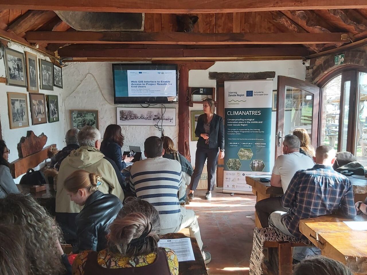
On February 17, 2026, in Rakitje, Croatia, the project partner “Public Institution Green Ring of Zagreb County” organized a workshop titled “Synthesis of challenges encountered by local nature conservation actors”. Experts from the research sector gathered to identify the needs of local stakeholders and to jointly define models for application in local decision-making processes.
The workshop was designed as an interactive process, where partners and stakeholders jointly selected priority target areas. This ensured a direct link between scientific models and practical, on-the-ground requirements. Through this approach, we are strengthening capacities for utilizing climate-informed models, which are essential for high-quality planning and the implementation of climate-smart management and ecosystem restoration.
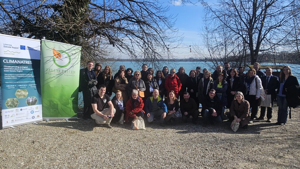
Active participants included members of the project team from the Faculty of Geodesy, University of Zagreb: Assoc. Prof. Mateo Gašparović and Katarina Barnjak.
Special emphasis was placed on the project’s technological support. Katarina Barnjak introduced the Web GIS interface currently being developed by the Faculty of Geodesy. This platform will provide end-users with seamless access to project results, facilitating and enhancing data-driven decision-making.
- First Phase of the Project Officially Approved
The first reporting period of the CLIMANATRES project, covering activities conducted from April 1 to September 30, 2025, has been successfully concluded and officially validated.
During this period, all preparatory activities necessary for the operational implementation of the project were carried out. The highlight of this initial phase was the Kick-off meeting. This meeting served as the foundation for strategic planning and operational alignment, where all project partners defined the working methodology, distribution of tasks, and specific goals to be achieved throughout the project.
All planned project activities, deliverables, and administrative obligations scheduled for this period were executed in a timely manner, which was confirmed by the official approval of the report by the competent authorities. This establishes a solid foundation for the continuation of expert research and the implementation of activities in the upcoming phases of the project.
Encouraged by the successful completion of the first phase, we continue towards new project achievements with great enthusiasm and motivation!
- Kick-off meeting
From July 21 to 24, 2025, the kick-off meeting of the project ”Climate-proofing ecological restoration plans in the middle and lower Danube Region (CLIMANATRES)” was held at the National Botanical Garden in Vácrátót, Hungary.
The chief motivation of the project is to provide scientifically supported decision support and planning tools for harmonising ecological restorations overarching borders along the Sava and Danube corridor. The support is intended to aid the implementation EU Nature Restoration Law and further harmonised ecological planning (Green Deal) taking expected climate change patterns, too.
As part of the collaboration, freely accessible online maps and databases will be developed to provide broad, user-friendly support for local and regional ecological restoration planning — and thereby also assist in implementing the EU Nature Restoration Regulation. The maps will indicate the suitability of specific sites for various habitat restoration objectives — such as habitats of community interest or ecological corridors.
The meeting was attended by partners from six European countries, including members of the project team from the Faculty of Geodesy, University of Zagreb – Assoc. Prof. Mateo Gašparović, PhD, and Ivana Jarak.
You can learn more about the project on the official website: CLIMANATRES.